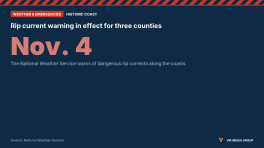
NWS Rip Current Statement: Moderate to High Risk at Area Beaches Through Sunday
The National Weather Service in Jacksonville says rip current risk at area beaches is moderate to high through Sunday, with breezy north-northeasterly winds.
Rip current advisoriesPart of a story we are following · 2 articles · See every update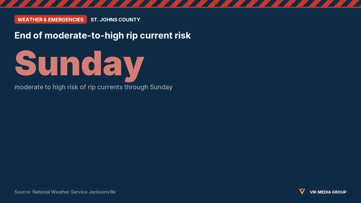
The National Weather Service (NWS) Jacksonville office posted a rip current notice on its homepage at 12:44 a.m. EST on Saturday, Nov. 7, 2026. The notice reads: “Breezy north-northeasterly winds will develop this afternoon and will continue through Sunday, resulting in a moderate to high risk of rip currents at area beaches.”
The notice also gives these safety tips for the weekend: check the local beach forecast before entering the ocean, look for beach warning signs or flags, ask a lifeguard if conditions are unclear, and always swim near lifeguards.
The notice does not name the beaches or counties it covers, and it does not give an expiration time. Read the full notice on the NWS Jacksonville homepage.